Log in
All resources
Create a design
38,251 Free Images of Atlas
atlas géographique des quatre parties du monde (delisle)
bibliothèque nationale de france
maps from university of amsterdam special collections
atlas der neederlanden
copperplate print
special collections of the university of amsterdam
atlas der neederlanden deel ii: holland 1. zuid-holland
prints by romeyn de hooghe
romeyn de hooghe
gemeente atlas van nederland - north brabant
gemeente atlas van nederland - utrecht
maps of ijsselstein
gemeente atlas van nederland - utrecht
maps of abcoude
gemeente atlas van nederland - utrecht
maps of bunnik
17th-century maps of herefordshire
old county maps of herefordshire
gemeente atlas van nederland - north brabant
oostelbeers
gemeente atlas van nederland - north brabant
maps of woudrichem
gemeente atlas van nederland - north brabant
maps of vught
gemeente atlas van nederland - north brabant
maps of woudrichem
gemeente atlas van nederland - north brabant
meeuwen, netherlands
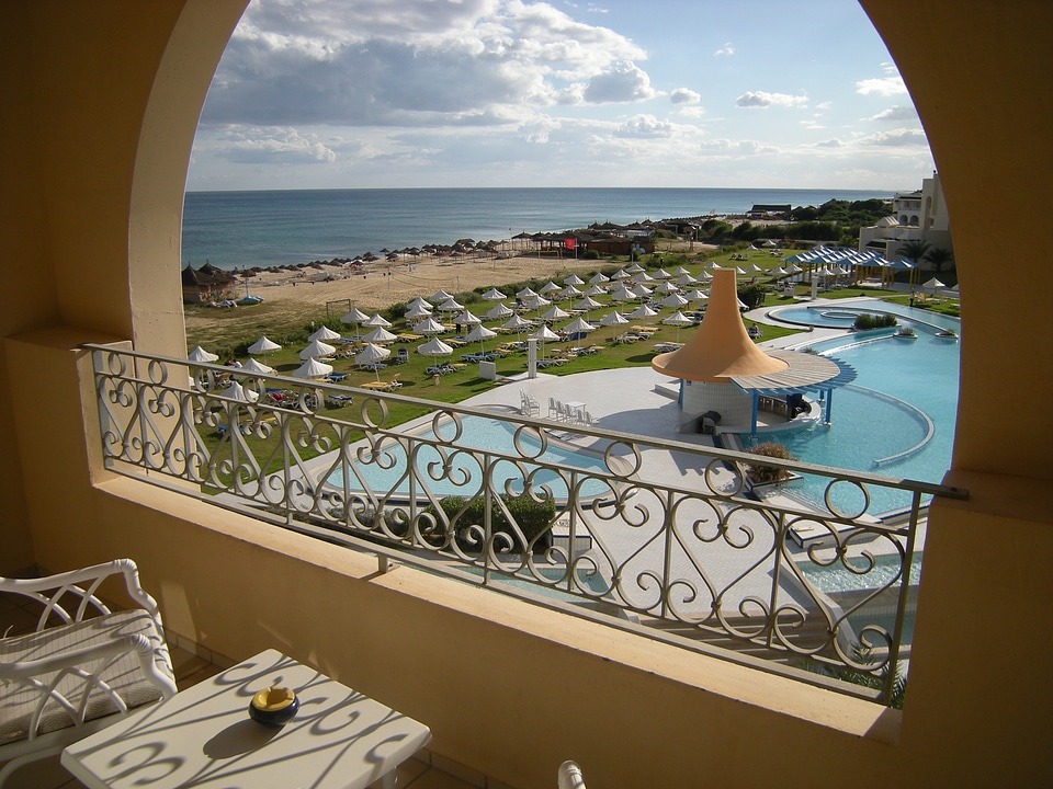
beach
pool
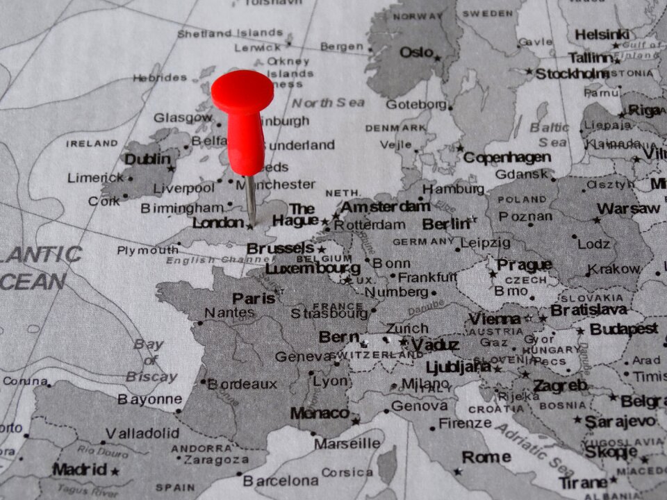
london
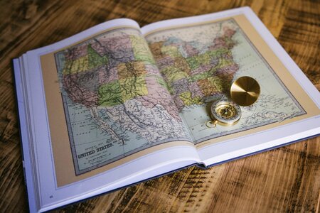
maps
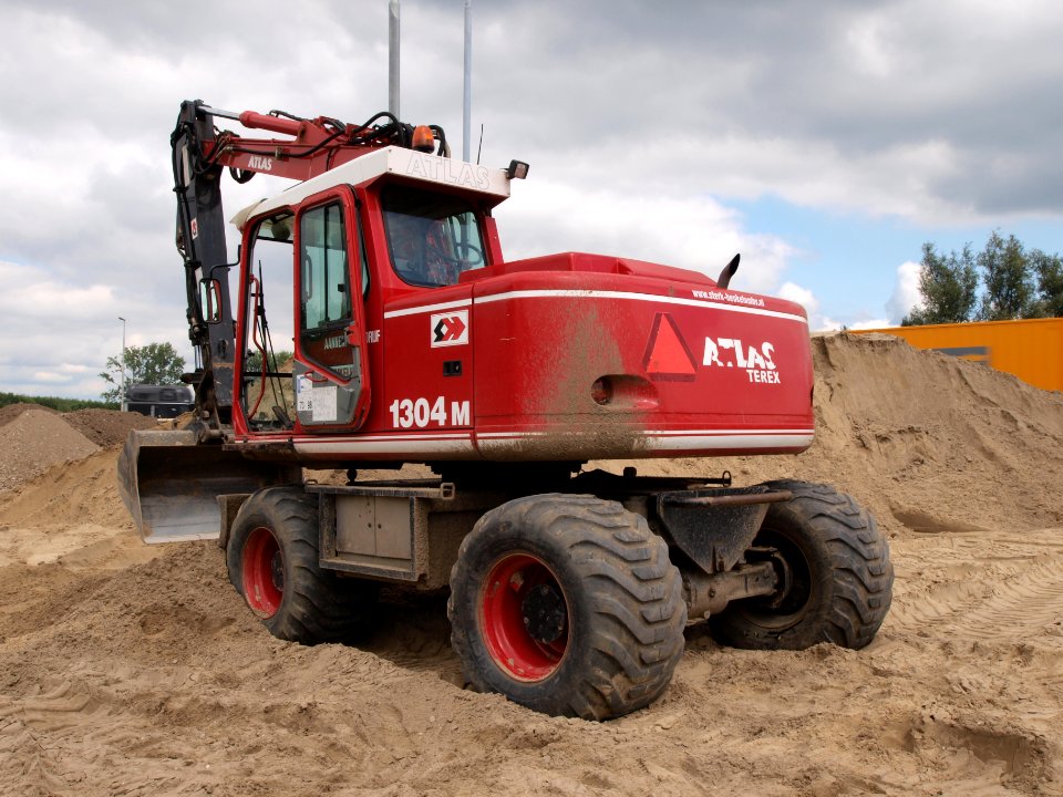
construction equipment photographed by alf van beem
cc-zero
butterfly
brown
travel
maps
atlas schoemaker-noord-brabant
history of bergen op zoom
gemeente atlas van nederland - overijssel
old maps of vollenhove
maps from university of amsterdam special collections
atlas der neederlanden
atlas schoemaker-noord-brabant
history of roosendaal
drawings in the stadsarchief amsterdam
caspar philips
flore des serres et des jardins de l’europe, vol. 3
caryocar nuciferum - botanical illustrations
atlas statistique de la production des chevaux en france by eugène gayot
landais pony
maps of 's-hertogenbosch by braun & hogenberg
atlas beudeker
atlas novus (blaeu)
1640s maps of paris
maps from university of amsterdam special collections
atlas der neederlanden
maps from university of amsterdam special collections
atlas der neederlanden
maps from university of amsterdam special collections
atlas der neederlanden
maps from university of amsterdam special collections
atlas der neederlanden
maps from university of amsterdam special collections
atlas der neederlanden
maps from university of amsterdam special collections
atlas der neederlanden
old maps of lake constance
old maps of swabia
maps from university of amsterdam special collections
atlas der neederlanden
gemeente atlas van nederland - north brabant
maps of cuijk
gemeente atlas van nederland - north brabant
old maps of eindhoven
atlas statistique de la production des chevaux en france by eugène gayot
berrichon horse
atlas schoemaker-noord-holland
castle brederode in art
maps from university of amsterdam special collections
atlas der neederlanden
maps from university of amsterdam special collections
atlas der neederlanden
maps from university of amsterdam special collections
atlas der neederlanden
atlas statistique de la production des chevaux en france by eugène gayot
angevin horse
topographischer atlas der schweiz
maps of the canton of valais
gemeente atlas van nederland - north brabant
maps of baarle-nassau
gemeente atlas van nederland - overijssel
old maps of kampen, netherlands
gemeente atlas van nederland - north brabant
maps of etten-leur
atlas
cell
sea life
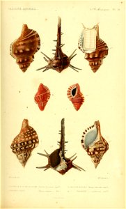
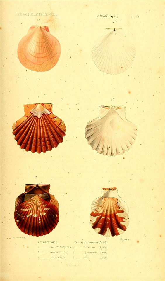
shell
cell
germ
sea life
shell
atlas
alps
old maps of namur (province)
county of namur
veronica fruticulosa - botanical illustrations
atlas der alpenflora, volume 3
paradisea liliastrum - botanical illustrations
atlas der alpenflora, volume 4
eritrichium nanum - botanical illustrations
atlas der alpenflora, volume 3
prints by ludwig willem reymert wenckebach
beurspoortje, amsterdam
gemeente atlas van nederland - zeeland
maps of polders in zeeland
gemeente atlas van nederland - zeeland
maps of polders in zeeland
gemeente atlas van nederland - groningen
old maps of groningen (city)
gemeente atlas van nederland - gelderland
maps of ede, netherlands
luzula alpinopilosa - botanical illustrations
atlas der alpenflora, volume 4
gemeente atlas van nederland - zeeland
maps of polders in zeeland
gemeente atlas van nederland - zeeland
maps of polders in zeeland
works after francis barlow
john ogilby
maps of amersfoort by braun & hogenberg
atlas de wit 1698
old maps of alexander the great's empire
gog and magog
gemeente atlas van nederland - utrecht
maps of oudewater
atlas statistique de la production des chevaux en france by eugène gayot
merlerault horse
gemeente atlas van nederland - zeeland
19th-century maps of zeeland
siege of hulst 1645
atlas van loon
maps from university of amsterdam special collections
atlas der neederlanden
maps of tournai city walls
old maps of tournai
eilandskerk in art
eilandskerk
atlas géographique des quatre parties du monde (delisle)
bibliothèque nationale de france
atlas géographique des quatre parties du monde (delisle)
bibliothèque nationale de france
atlas géographique des quatre parties du monde (delisle)
bibliothèque nationale de france
atlas géographique des quatre parties du monde (delisle)
bibliothèque nationale de france
atlas géographique des quatre parties du monde (delisle)
bibliothèque nationale de france
atlas géographique des quatre parties du monde (delisle)
bibliothèque nationale de france
atlas géographique des quatre parties du monde (delisle)
bibliothèque nationale de france
atlas géographique des quatre parties du monde (delisle)
bibliothèque nationale de france
atlas géographique des quatre parties du monde (delisle)
bibliothèque nationale de france
atlas géographique des quatre parties du monde (delisle)
bibliothèque nationale de france
atlas géographique des quatre parties du monde (delisle)
bibliothèque nationale de france
atlas géographique des quatre parties du monde (delisle)
bibliothèque nationale de france
atlas géographique des quatre parties du monde (delisle)
bibliothèque nationale de france
atlas géographique des quatre parties du monde (delisle)
bibliothèque nationale de france
atlas géographique des quatre parties du monde (delisle)
bibliothèque nationale de france
atlas géographique des quatre parties du monde (delisle)
bibliothèque nationale de france
atlas géographique des quatre parties du monde (delisle)
bibliothèque nationale de france
atlas géographique des quatre parties du monde (delisle)
bibliothèque nationale de france
atlas géographique des quatre parties du monde (delisle)
bibliothèque nationale de france
atlas géographique des quatre parties du monde (delisle)
bibliothèque nationale de france
atlas géographique des quatre parties du monde (delisle)
bibliothèque nationale de france
atlas géographique des quatre parties du monde (delisle)
bibliothèque nationale de france
atlas géographique des quatre parties du monde (delisle)
bibliothèque nationale de france
atlas géographique des quatre parties du monde (delisle)
bibliothèque nationale de france
atlas géographique des quatre parties du monde (delisle)
bibliothèque nationale de france
atlas géographique des quatre parties du monde (delisle)
bibliothèque nationale de france
atlas géographique des quatre parties du monde (delisle)
bibliothèque nationale de france
old maps of twente
delden, overijssel
maps from university of amsterdam special collections
atlas der neederlanden
symbols and flags from the catalan atlas
historical flags of algeria
9501 - 9600 of 38,251
Next page
/ 383


![Map of the Islands of Japan and the peninsula of Korea: with the coasts of China from Peking to Canton / by N. Bellin; J. v. Schley direx, Jakob van der Schley, [1773]](https://cdn.creazilla.com/illustrations/10000188400/map-of-the-islands-of-japan-and-the-peninsula-of-korea-with-the-coasts-of-china-from-peking-to-canton-by-n-bellin-j-v-schley-direx-jakob-van-der-schley-1773-sm.webp)


![Map of the old new lands in West Voorn / I. Luiken fecit cum aqua forti; A. Steyaart invented; I. Stemmer's sculpsit, Romeyn de Hooghe, [1701]](https://cdn.creazilla.com/illustrations/10000299995/map-of-the-old-new-lands-in-west-voorn-i-luiken-fecit-cum-aqua-forti-a-steyaart-invented-i-stemmers-sculpsit-romeyn-de-hooghe-1701-md.jpg)
![Caarte vande polders van Onwaart and Aerts Dyck Wal / Heyman vander Dyck fecit; I. Stemmer's sculpsit; A. Steyaart invented; I. Shutters fecit cum aqua forti, Romeyn de Hooghe, [1701]](https://cdn.creazilla.com/illustrations/10000236419/caarte-vande-polders-van-onwaart-and-aerts-dyck-wal-heyman-vander-dyck-fecit-i-stemmers-sculpsit-a-steyaart-invented-i-shutters-fecit-cum-aqua-forti-romeyn-de-hooghe-1701-md.jpg)
![Map of the polders of Out and Nieuw Herckingen / Heyman van Dyck fecit; I. Shutters fecit cum aqua forti; A. Steyaart invented; I. Stemmer's sculpsit, Romeyn de Hooghe, [1701]](https://cdn.creazilla.com/illustrations/10000842157/map-of-the-polders-of-out-and-nieuw-herckingen-heyman-van-dyck-fecit-i-shutters-fecit-cum-aqua-forti-a-steyaart-invented-i-stemmer-s-sculpsit-romeyn-de-hooghe-1701-md.jpg)
![Map of the craftsmanship of Dirckx Landt / Heyman vander Dyck fecit; A. Steyaart invented; I. Stemmer's sculpsit; I. Shutters fecit cum aqua forti, Romeyn de Hooghe, [1701]](https://cdn.creazilla.com/illustrations/10000797948/map-of-the-craftsmanship-of-dirckx-landt-heyman-vander-dyck-fecit-a-steyaart-invented-i-stemmer-s-sculpsit-i-shutters-fecit-cum-aqua-forti-romeyn-de-hooghe-1701-md.jpg)
![Map of the Old Land of Diepen Dorst / I. Shutters fecit cum aqua forti; A. Steyaart invenit; I. Stemmers sculpt, Romeyn de Hooghe, [1701]](https://cdn.creazilla.com/illustrations/10001043124/map-of-the-old-land-of-diepen-dorst-i-shutters-fecit-cum-aqua-forti-a-steyaart-invenit-i-stemmers-sculpt-romeyn-de-hooghe-1701-md.jpg)
![Map of the city of Goede Reede and its subordinate polders / I. Luiken fecit cum aqua forti; A. Steyaart invented; I. Stemmer's sculpsit, Romeyn de Hooghe, [1701]](https://cdn.creazilla.com/illustrations/10001231117/map-of-the-city-of-goede-reede-and-its-subordinate-polders-i-luiken-fecit-cum-aqua-forti-a-steyaart-invented-i-stemmer-s-sculpsit-romeyn-de-hooghe-1701-md.jpg)

![Voorne Land Map - Dutch Municipal Boundaries, 1695, Romeyn de Hooghe, [1701]](https://cdn.creazilla.com/illustrations/10000511069/voorne-land-map-dutch-municipal-boundaries-1695-romeyn-de-hooghe-1701-md.jpg)


![Map of the polder of the old Oost dyck in West Voorn / A. Steyaart invenit; I. Stemmer's sculpsit; I. Shutters fecit cum aqua forti; H. van Dyck fecit, Romeyn de Hooghe, [1701]](https://cdn.creazilla.com/illustrations/10000341870/map-of-the-polder-of-the-old-oost-dyck-in-west-voorn-a-steyaart-invenit-i-stemmers-sculpsit-i-shutters-fecit-cum-aqua-forti-h-van-dyck-fecit-romeyn-de-hooghe-1701-md.jpg)
![Map of the Nieuwe Tonge in the lovely country of Grys Oort / Heyman van Dyck fecit; A. Steyaart invented; I. Shutters fecit cum aqua forti; I. Stemmer's sculpsit, Romeyn de Hooghe, [1701]](https://cdn.creazilla.com/illustrations/10001291381/map-of-the-nieuwe-tonge-in-the-lovely-country-of-grys-oort-heyman-van-dyck-fecit-a-steyaart-invented-i-shutters-fecit-cum-aqua-forti-i-stemmer-s-sculpsit-romeyn-de-hooghe-1701-md.jpg)
![General map of the entire lordship and jurisdiction of Grys Oort / Heyman van Dyck fact; I. Shutters fecit cum aqua forti; A. Steyaart invented; I. Stemmer's sculpsit, Romeyn de Hooghe, [1701]](https://cdn.creazilla.com/illustrations/10001487784/general-map-of-the-entire-lordship-and-jurisdiction-of-grys-oort-heyman-van-dyck-fact-i-shutters-fecit-cum-aqua-forti-a-steyaart-invented-i-stemmers-sculpsit-romeyn-de-hooghe-1701-md.jpg)


![New Map of Java - J. van Schley, Jakob van der Schley, [1755]](https://cdn.creazilla.com/illustrations/10001066797/new-map-of-java-j-van-schley-jakob-van-der-schley-1755-md.jpg)


![Map and images of the glory of Abbenbroek 1701 / I. Stemmers sculpsit; A. Steyaart invenit, Romeyn de Hooghe, [1701]](https://cdn.creazilla.com/illustrations/10000431246/map-and-images-of-the-glory-of-abbenbroek-1701-i-stemmers-sculpsit-a-steyaart-invenit-romeyn-de-hooghe-1701-md.jpg)
