Log in
All resources
Create a design
12,863 Free Images of Atlantic
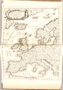
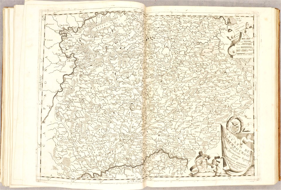
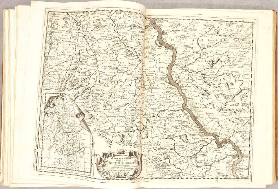
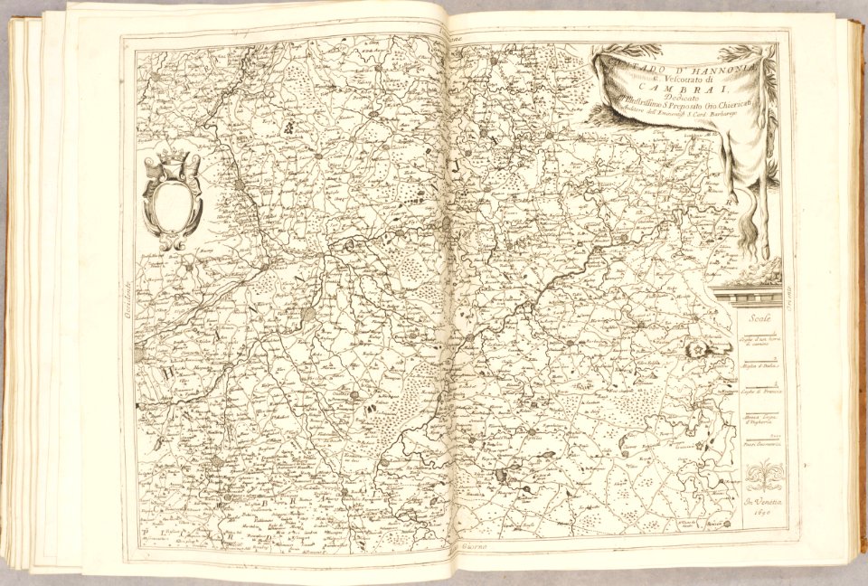
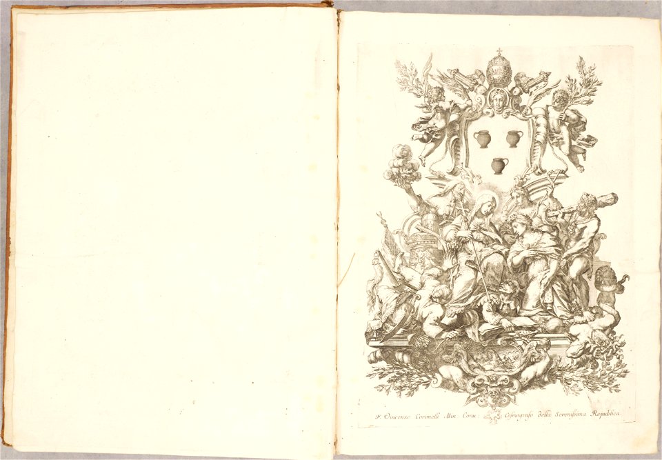
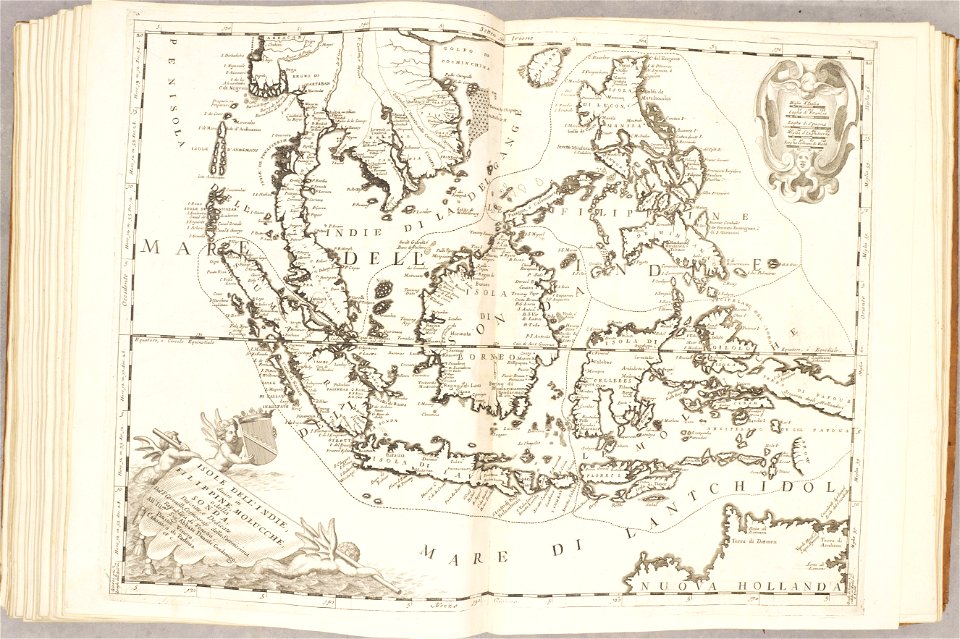
atlante veneto (raremaps.com) volume 1
atlante veneto (raremaps.com) volume 2
atlante veneto (raremaps.com) volume 1
atlante veneto (raremaps.com) volume 1
atlante veneto (raremaps.com) volume 1
atlante veneto (raremaps.com) volume 1
atlante veneto (raremaps.com) volume 1
atlante veneto (raremaps.com) volume 1
atlante veneto (raremaps.com) volume 1
atlante veneto (raremaps.com) volume 1
atlante veneto (raremaps.com) volume 1
atlante veneto (raremaps.com) volume 1
atlante veneto (raremaps.com) volume 1
atlante veneto (raremaps.com) volume 1
atlante veneto (raremaps.com) volume 1
atlante veneto (raremaps.com) volume 1
atlante veneto (raremaps.com) volume 1
atlante veneto (raremaps.com) volume 1
atlante veneto (raremaps.com) volume 1
atlante veneto (raremaps.com) volume 1
atlante veneto (raremaps.com) volume 1
atlante veneto (raremaps.com) volume 2
atlante veneto (raremaps.com) volume 1
atlante veneto (raremaps.com) volume 2
atlante veneto (raremaps.com) volume 1
atlante veneto (raremaps.com) volume 1
atlante veneto (raremaps.com) volume 1
atlante veneto (raremaps.com) volume 1
atlante veneto (raremaps.com) volume 1
atlante veneto (raremaps.com) volume 1
atlante veneto (raremaps.com) volume 1
atlante veneto (raremaps.com) volume 2
atlante veneto (raremaps.com) volume 1
atlante veneto (raremaps.com) volume 1
atlante veneto (raremaps.com) volume 2
atlante veneto (raremaps.com) volume 2
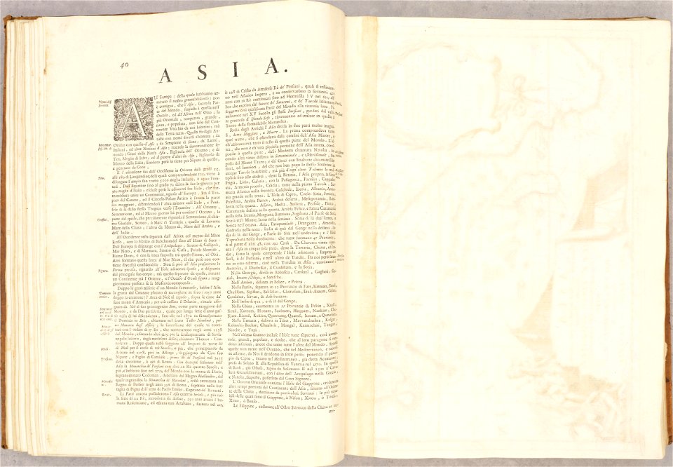
atlante veneto (raremaps.com) volume 2
atlante veneto (raremaps.com) volume 1
atlante veneto (raremaps.com) volume 1
atlante veneto (raremaps.com) volume 2
atlante veneto (raremaps.com) volume 2
atlante veneto (raremaps.com) volume 1
atlante veneto (raremaps.com) volume 2
atlante veneto (raremaps.com) volume 2
atlante veneto (raremaps.com) volume 2
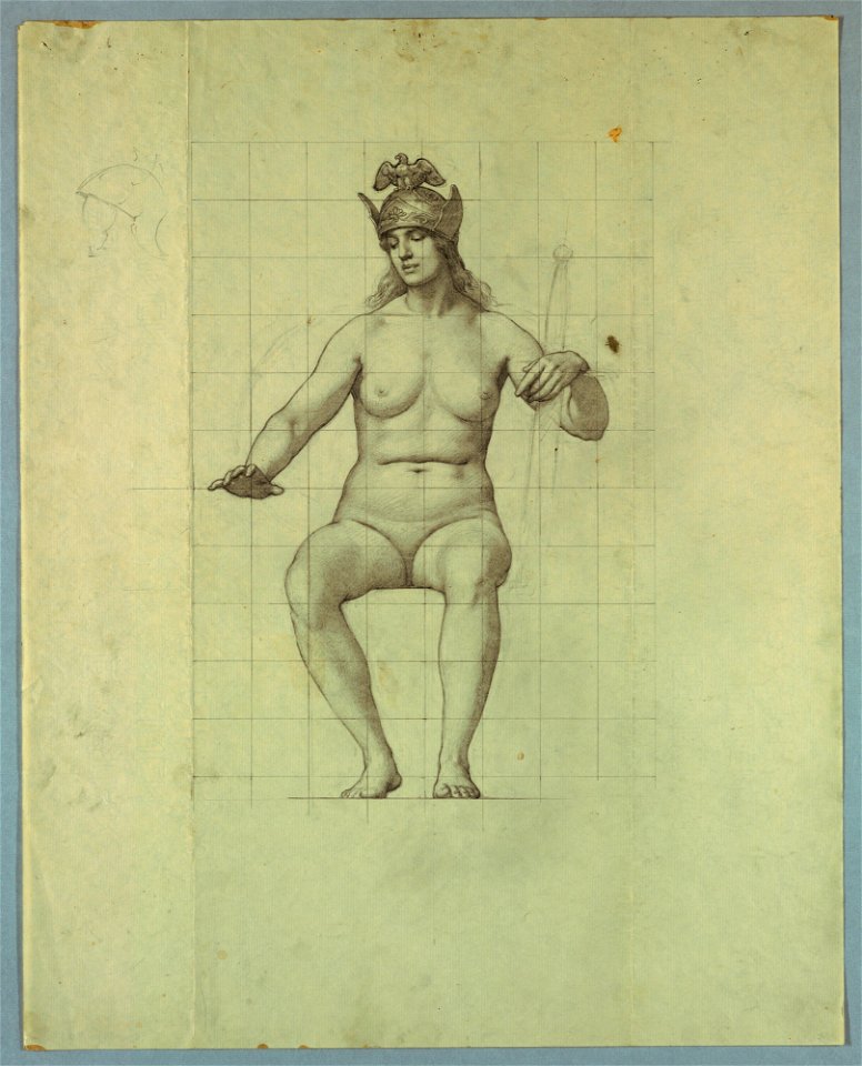
studies of the marriage of the atlantic and pacific
animals
fish
atlante veneto (raremaps.com) volume 1
atlante veneto (raremaps.com) volume 1
atlante veneto (raremaps.com) volume 1
atlante veneto (raremaps.com) volume 1
atlante veneto (raremaps.com) volume 1
atlante veneto (raremaps.com) volume 1
atlante veneto (raremaps.com) volume 1
atlante veneto (raremaps.com) volume 1
atlante veneto (raremaps.com) volume 1
atlante veneto (raremaps.com) volume 1
atlante veneto (raremaps.com) volume 1
atlante veneto (raremaps.com) volume 1
atlante veneto (raremaps.com) volume 1
atlante veneto (raremaps.com) volume 1
atlante veneto (raremaps.com) volume 1
atlante veneto (raremaps.com) volume 1
atlante veneto (raremaps.com) volume 1
atlante veneto (raremaps.com) volume 1
atlante veneto (raremaps.com) volume 1
atlante veneto (raremaps.com) volume 1
atlante veneto (raremaps.com) volume 1
atlante veneto (raremaps.com) volume 1
atlante veneto (raremaps.com) volume 1
atlante veneto (raremaps.com) volume 1
atlante veneto (raremaps.com) volume 1
atlante veneto (raremaps.com) volume 1
atlante veneto (raremaps.com) volume 1
atlante veneto (raremaps.com) volume 1
atlante veneto (raremaps.com) volume 1
atlante veneto (raremaps.com) volume 1
atlante veneto (raremaps.com) volume 1
atlante veneto (raremaps.com) volume 1
atlante veneto (raremaps.com) volume 1
atlante veneto (raremaps.com) volume 1
atlante veneto (raremaps.com) volume 1
atlante veneto (raremaps.com) volume 1
atlante veneto (raremaps.com) volume 1
atlante veneto (raremaps.com) volume 1
atlante veneto (raremaps.com) volume 1
atlante veneto (raremaps.com) volume 1
atlante veneto (raremaps.com) volume 1
atlante veneto (raremaps.com) volume 1
atlante veneto (raremaps.com) volume 1
atlante veneto (raremaps.com) volume 1
atlante veneto (raremaps.com) volume 1
atlante veneto (raremaps.com) volume 1
atlante veneto (raremaps.com) volume 1
atlante veneto (raremaps.com) volume 1
atlante veneto (raremaps.com) volume 1
atlante veneto (raremaps.com) volume 1
atlante veneto (raremaps.com) volume 1
atlante veneto (raremaps.com) volume 1
atlante veneto (raremaps.com) volume 1
atlante veneto (raremaps.com) volume 1
atlante veneto (raremaps.com) volume 1
301 - 400 of 12,863
Next page
/ 129