Log in
All resources
Create a design
2,974 Free Images of 1667
copper engraving print
british library
joan blaeu
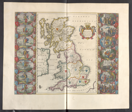
atlas maior, vol 5 (england) - joan blaeu, 1667 - bl 114.h(star).5
engraving
illustration
china
black
white
chalcography
illustration
printing
illustration
printing
illustration
printing
illustration
printing
illustration
landscape
atlas maior, vol 3 (germany) - joan blaeu, 1667 - bl 114.h(star).3
johannes gigas
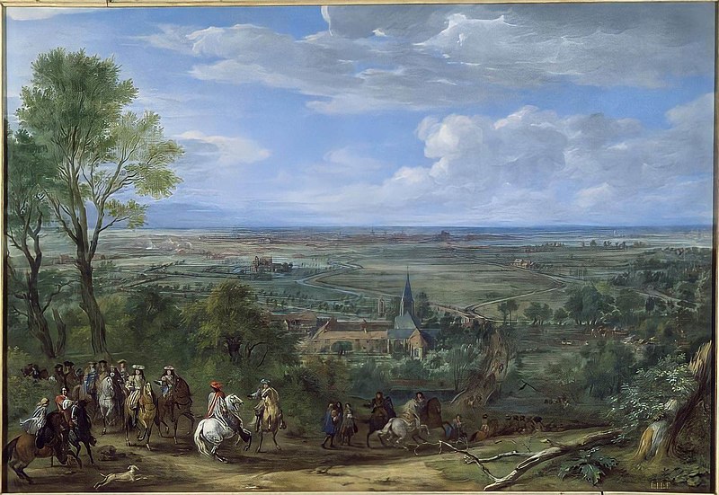
the french camp in front of tournai in 1667 by adam frans van der meulen
baroque
atlas maior, vol 5 (england) - joan blaeu, 1667 - bl 114.h(star).5
17th-century maps of the isle of wight
atlas maior, vol 5 (england) - joan blaeu, 1667 - bl 114.h(star).5
17th-century maps of the isle of man
paintings by adriaen van de velde
1667 paintings in germany
atlas maior, vol 5 (england) - joan blaeu, 1667 - bl 114.h(star).5
17th-century maps of leicestershire
atlas maior, vol 5 (england) - joan blaeu, 1667 - bl 114.h(star).5
17th-century maps of glamorgan
atlas maior, vol 5 (england) - joan blaeu, 1667 - bl 114.h(star).5
17th-century maps of staffordshire
atlas maior, vol 5 (england) - joan blaeu, 1667 - bl 114.h(star).5
17th-century maps of yorkshire
atlas maior, vol 5 (england) - joan blaeu, 1667 - bl 114.h(star).5
17th-century maps of brecknockshire
atlas maior, vol 5 (england) - joan blaeu, 1667 - bl 114.h(star).5
17th-century maps of surrey
atlas maior, vol 5 (england) - joan blaeu, 1667 - bl 114.h(star).5
17th-century maps of northamptonshire
atlas maior, vol 5 (england) - joan blaeu, 1667 - bl 114.h(star).5
17th-century maps of cheshire
atlas maior, vol 5 (england) - joan blaeu, 1667 - bl 114.h(star).5
17th-century maps of lancashire
atlas maior, vol 5 (england) - joan blaeu, 1667 - bl 114.h(star).5
17th-century maps of radnorshire
atlas maior, vol 5 (england) - joan blaeu, 1667 - bl 114.h(star).5
17th-century maps of cumberland
atlas maior, vol 5 (england) - joan blaeu, 1667 - bl 114.h(star).5
17th-century maps of monmouthshire
atlas maior, vol 5 (england) - joan blaeu, 1667 - bl 114.h(star).5
17th-century maps of northumberland
atlas maior, vol 5 (england) - joan blaeu, 1667 - bl 114.h(star).5
17th-century maps of kent
atlas maior, vol 5 (england) - joan blaeu, 1667 - bl 114.h(star).5
1660s maps of wales
atlas maior, vol 5 (england) - joan blaeu, 1667 - bl 114.h(star).5
17th-century maps of cornwall
atlas maior, vol 5 (england) - joan blaeu, 1667 - bl 114.h(star).5
17th-century maps of middlesex
atlas maior, vol 5 (england) - joan blaeu, 1667 - bl 114.h(star).5
17th-century maps of berkshire
atlas maior, vol 5 (england) - joan blaeu, 1667 - bl 114.h(star).5
17th-century maps of hertfordshire
atlas maior, vol 5 (england) - joan blaeu, 1667 - bl 114.h(star).5
17th-century maps of shropshire
atlas maior, vol 5 (england) - joan blaeu, 1667 - bl 114.h(star).5
17th-century maps of cambridgeshire
atlas maior, vol 5 (england) - joan blaeu, 1667 - bl 114.h(star).5
17th-century maps of suffolk
atlas maior, vol 5 (england) - joan blaeu, 1667 - bl 114.h(star).5
17th-century maps of oxfordshire
atlas maior, vol 5 (england) - joan blaeu, 1667 - bl 114.h(star).5
17th-century maps of derbyshire
atlas maior, vol 5 (england) - joan blaeu, 1667 - bl 114.h(star).5
17th-century maps of sussex
atlas maior, vol 5 (england) - joan blaeu, 1667 - bl 114.h(star).5
17th-century maps of nottinghamshire
atlas maior, vol 5 (england) - joan blaeu, 1667 - bl 114.h(star).5
17th-century maps of rutland
atlas maior, vol 5 (england) - joan blaeu, 1667 - bl 114.h(star).5
17th-century maps of somerset
atlas maior, vol 5 (england) - joan blaeu, 1667 - bl 114.h(star).5
17th-century maps of lincolnshire
atlas maior, vol 5 (england) - joan blaeu, 1667 - bl 114.h(star).5
17th-century maps of huntingdonshire
atlas maior, vol 5 (england) - joan blaeu, 1667 - bl 114.h(star).5
17th-century maps of herefordshire
atlas maior, vol 5 (england) - joan blaeu, 1667 - bl 114.h(star).5
17th-century maps of westmorland
atlas maior, vol 5 (england) - joan blaeu, 1667 - bl 114.h(star).5
17th-century maps of essex
atlas maior, vol 5 (england) - joan blaeu, 1667 - bl 114.h(star).5
17th-century maps of gloucestershire
atlas maior, vol 5 (england) - joan blaeu, 1667 - bl 114.h(star).5
17th-century maps of hampshire
atlas maior, vol 5 (england) - joan blaeu, 1667 - bl 114.h(star).5
17th-century maps of wiltshire
atlas maior, vol 5 (england) - joan blaeu, 1667 - bl 114.h(star).5
17th-century maps of cardiganshire
atlas maior, vol 5 (england) - joan blaeu, 1667 - bl 114.h(star).5
17th-century maps of devon
atlas maior, vol 5 (england) - joan blaeu, 1667 - bl 114.h(star).5
17th-century maps of dorset
atlas maior, vol 6 (scotland and ireland) - joan blaeu, 1667 - bl 114.h(star).6
maps of idrone by gerardus mercator
atlas maior, vol 1 (northern europe, norway, and denmark) - joan blaeu, 1667 - bl 114.h(star).1
1660s maps of norway
etchings in the rijksmuseum amsterdam
marcus doornick
landscape paintings in the bayerische staatsgemäldesammlungen
paintings by herman saftleven
illustration
printing
illustration
printing
illustration
printing
illustration
printing
illustration
printing
illustration
printing
illustration
printing
illustration
printing
illustration
printing
media contributed by university of illinois urbana-champaign university library
1702 maps of africa
illustration
printing
illustration
printing
pieter nason
baroque
illustration
printing
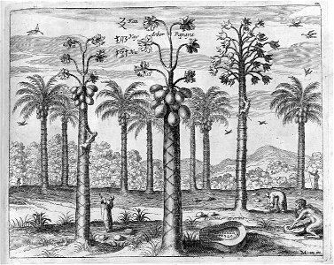
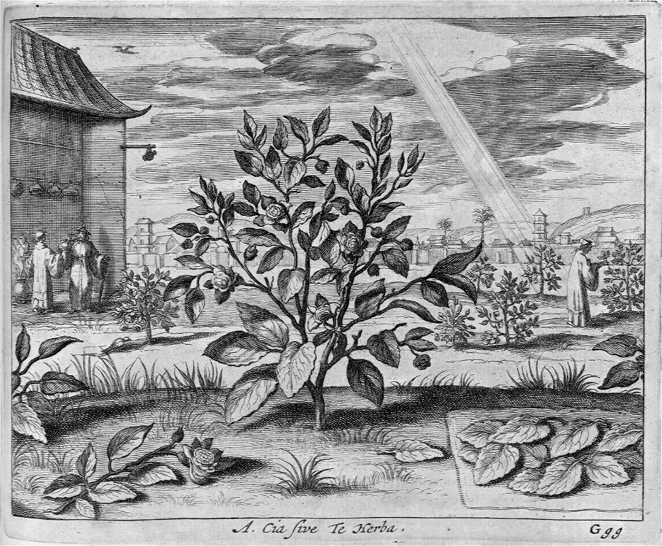
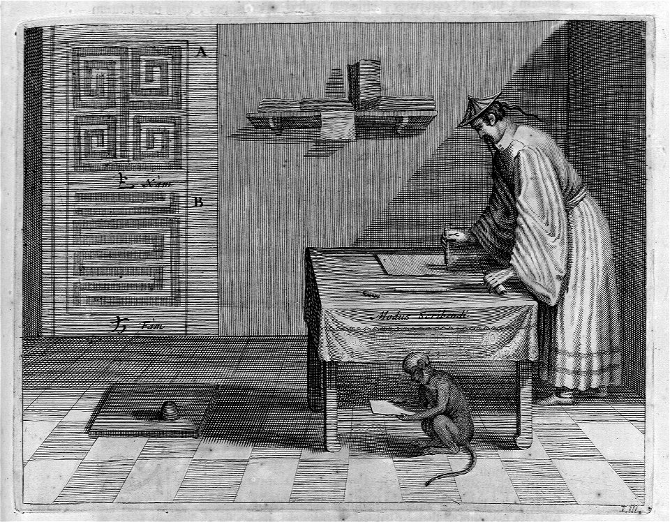
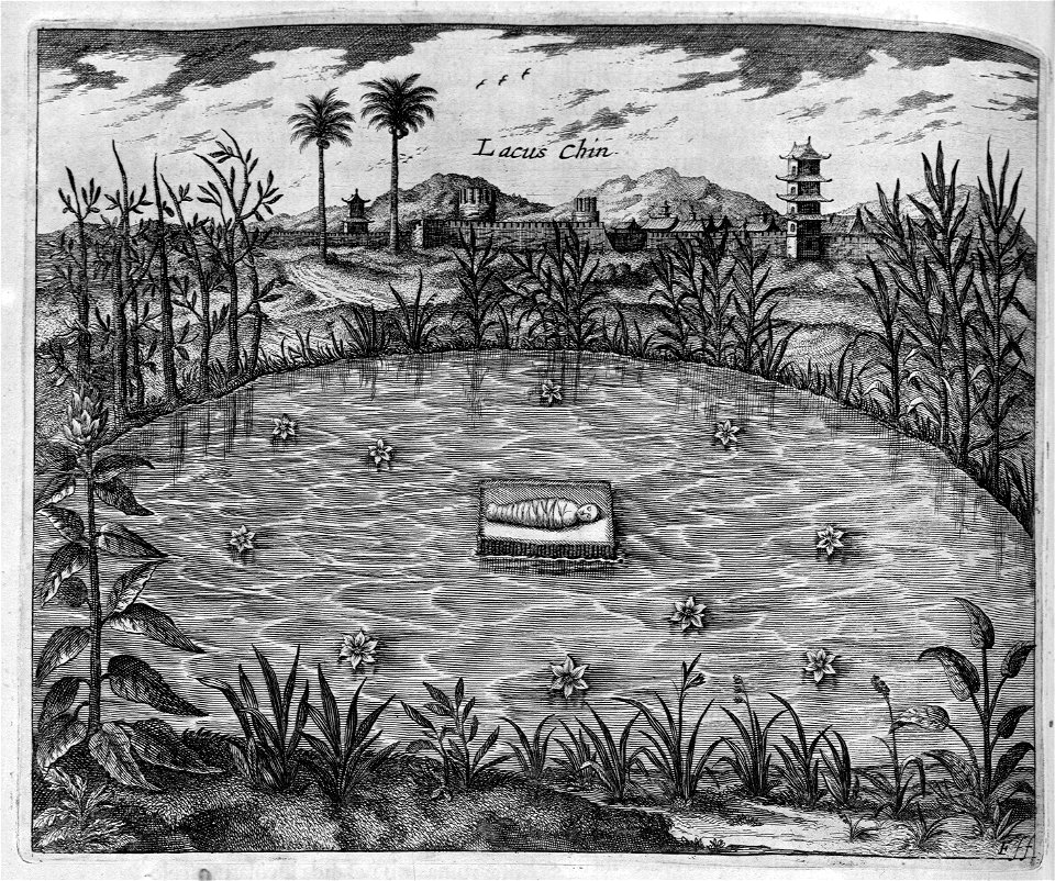
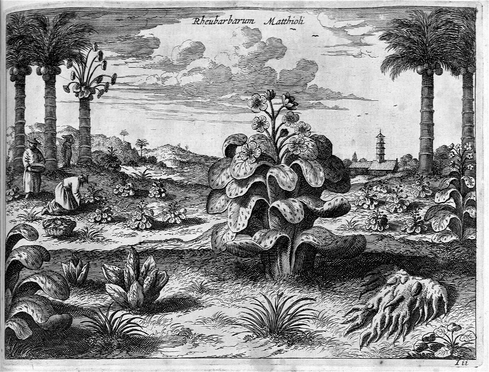
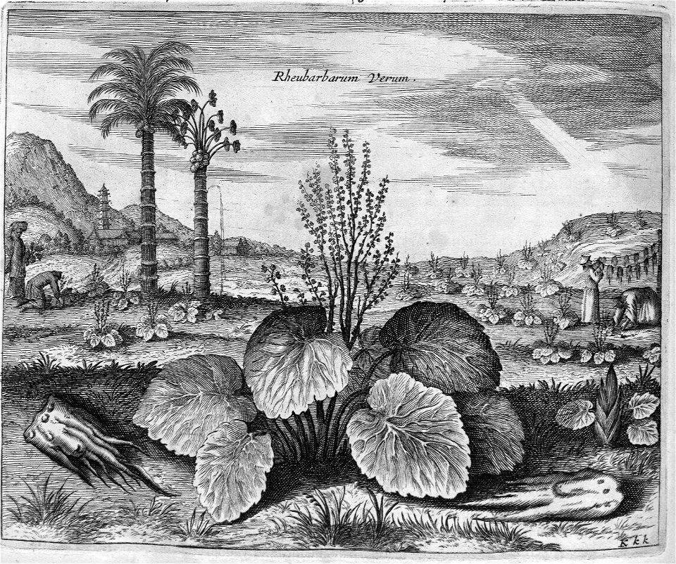
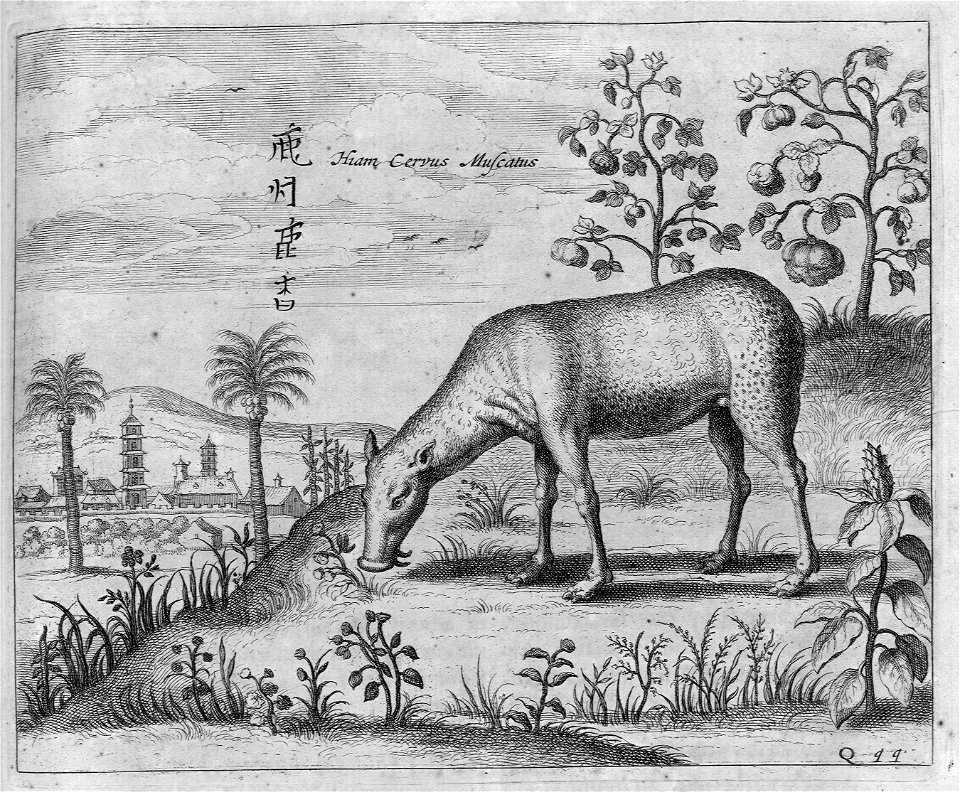
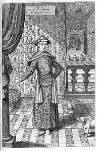
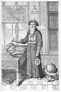
atlas maior, vol 11 (asia) - joan blaeu, 1667 - bl 114.h(star).11
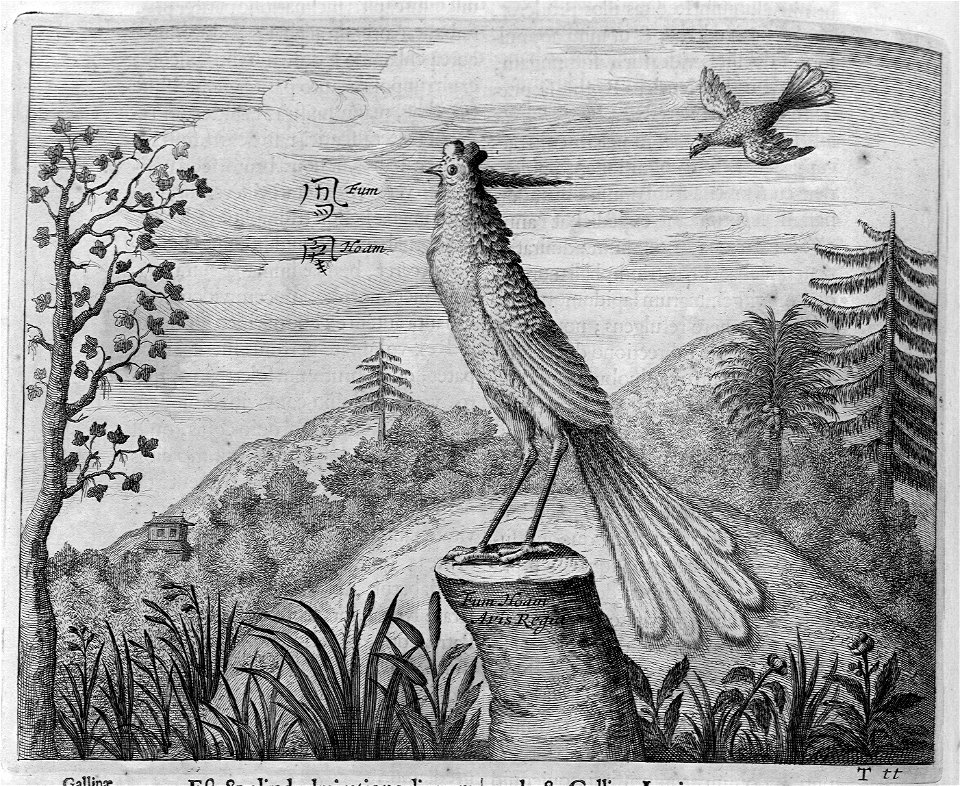
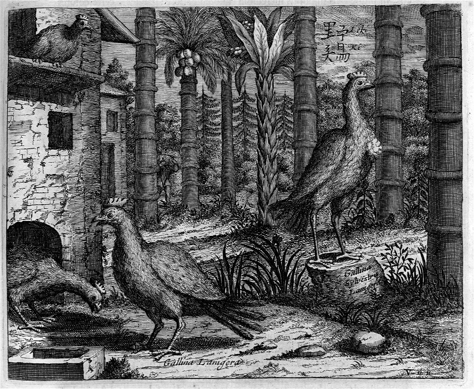
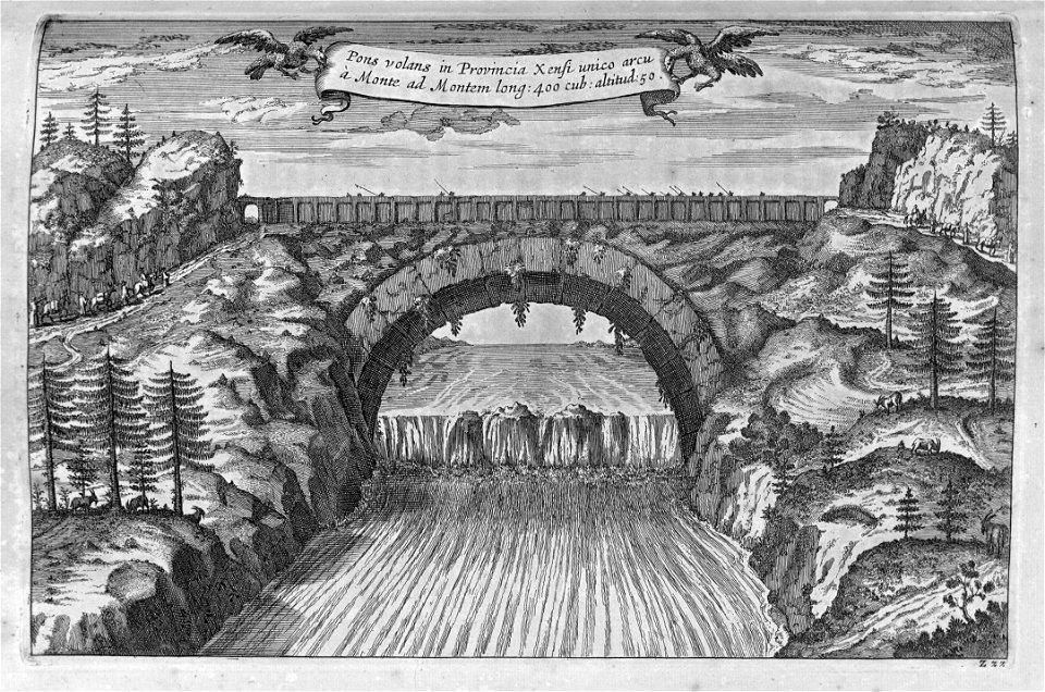
1660s maps of china
atlas maior, vol 3 (germany) - joan blaeu, 1667 - bl 114.h(star).3
johannes gigas
salzkammergut in upper austria
maps of salzkammergut
illustration
landscape
illustration
landscape
illustration
printing
illustration
printing
illustration
landscape
17th-century still life paintings in the united states
baroque still life paintings of food
illustration
printing
atlas maior, vol 5 (england) - joan blaeu, 1667 - bl 114.h(star).5
old maps of anglo-saxon england
17th-century paintings of the conversion of saint paul
paintings of the conversion of saint paul in spain
atlas maior, vol 3 (germany) - joan blaeu, 1667 - bl 114.h(star).3
celeberrimi fluvii albis nova delineatio by willem janszoon blaeu
atlas maior, vol 5 (england) - joan blaeu, 1667 - bl 114.h(star).5
17th-century maps of norfolk, england
history paintings in the musée national du château de versailles
henri testelin
paintings by adam frans van der meulen
baroque
illustration
printing
illustration
printing
portrait paintings by gerbrand van den eeckhout
baroque
illustration
printing
illustration
printing
illustration
landscape
illustration
printing
illustration
printing
illustration
printing
illustration
printing
17th-century portrait engravings in the national portrait gallery, london
robert white (engraver)
atlas maior, vol 5 (england) - joan blaeu, 1667 - bl 114.h(star).5
17th-century maps of county durham
atlas maior, vol 5 (england) - joan blaeu, 1667 - bl 114.h(star).5
17th-century maps of norfolk, england
17th-century landscape paintings in the nasjonalmuseet for kunst, arkitektur og design
paintings by jan wijnants
male portrait paintings by caspar netscher
1667 portrait paintings of men
dutch golden age paintings in the national gallery of art
17th-century marine paintings by ludolf bakhuizen
paintings by adam frans van der meulen
baroque
901 - 1000 of 2,974
Next page
/ 30


![[Caput V. De Mogorum seu Mogulum Regno...]](https://cdn.creazilla.com/illustrations/7727380/caput-v-de-mogorum-seu-mogulum-regno-illustration-md.jpeg)


![[Adorno]](https://cdn.creazilla.com/illustrations/7727396/adorno-illustration-sm.jpeg)

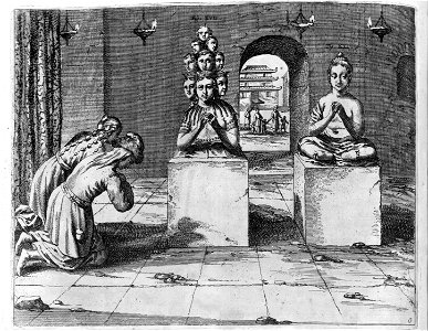
![[Pagodes Indorum Numen]](https://cdn.creazilla.com/illustrations/7727386/pagodes-indorum-numen-illustration-md.jpeg)